Product Center Product Center Shenyang Oborn Technology Co., Ltd.

Forensic Mapping with Aerial Surveying Equipment

Forensic Mapping with Aerial Surveying Equipment

Product introduction

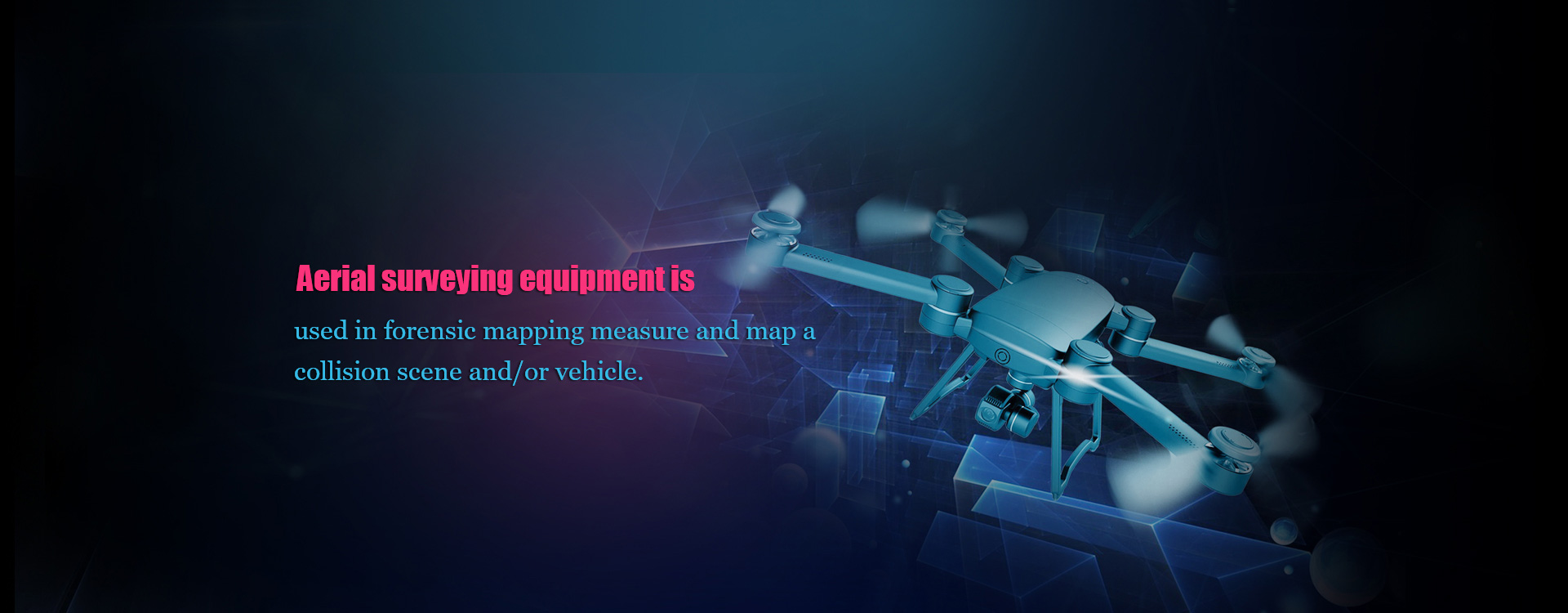
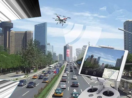
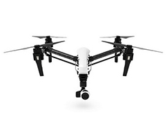
                                                                                                                                                                                                                                                                     Drone/UAVs have been used in our forensic mapping systems, with its applications in reconstruction and mapping.A drone can be flown over an accident scene quickly to capture all the detail. Combined with some ground photos, this allows the scene to be cleared more quickly and the road reopened.The results are accurate diagrams and maps of the scene, along with accurate distance and angle measurements that are important for the reconstructionist or the forensic specialist.

Copyright: Shenyang Oborn Technology Co., Ltd.
Tel: 024-31082325 Fax: 024-31082325 Mobile Phone: 15904013380
Address: No. 13-1 Qufeng North Street, Tiexi District, Shenyang City, Liaoning Province (2008)
Record No: Liao ICP 11000267-1 ©2017-2020
024-31082325