Aerial Mapping System for Traffic Accident Site
System survey:
With the continuous development of science and technology, the application of computer technology in various fields continues to deepen, bringing revolutionary convenience and improvement to our production and life. In dealing with traffic accidents, through the perfect combination of intelligent UAV and traffic accident mapping system, the drawing of traffic accident scene map is more accurate and easy, which significantly improves the work efficiency of traffic policemen, and further guarantees the personal safety of traffic policemen because of the strong independence of UAV. Our company's traffic accident scene aerial photography drawing system is such a high-tech product which integrates aerial photography, measurement, drawing and printing.
Product function:
1. Using the camera of UAV to take pictures, reappear the accident scene from multiple angles, display the pictures in the tablet computer, and obtain data on the pictures, mark them, collect three-dimensional data such as locating line, locating point and datum point, and provide fast accident recovery analysis.
2. The photographs of the traffic accident scene are transferred into the real-time drawing software layer. The spatial coordinates of the measured objects are obtained by image processing, pattern recognition, artificial intelligence and computer vision, and then the three-dimensional characteristics of the measured objects are accurately depicted to realize the scene conversion of the accident scene.
3. Intelligent UAV Photogrammetry Accident Site is directly imported into the tablet computer and "Traffic Accident Site Scene Survey and Drawing System". The system software automatically corrects the incoming scene photos. Through image processing, measurement and interpretation, the status, size and spatial position of the measured objects can be obtained, the measurement data can be automatically generated, and the scene record map can be drawn on the accident site. And the site scale map.
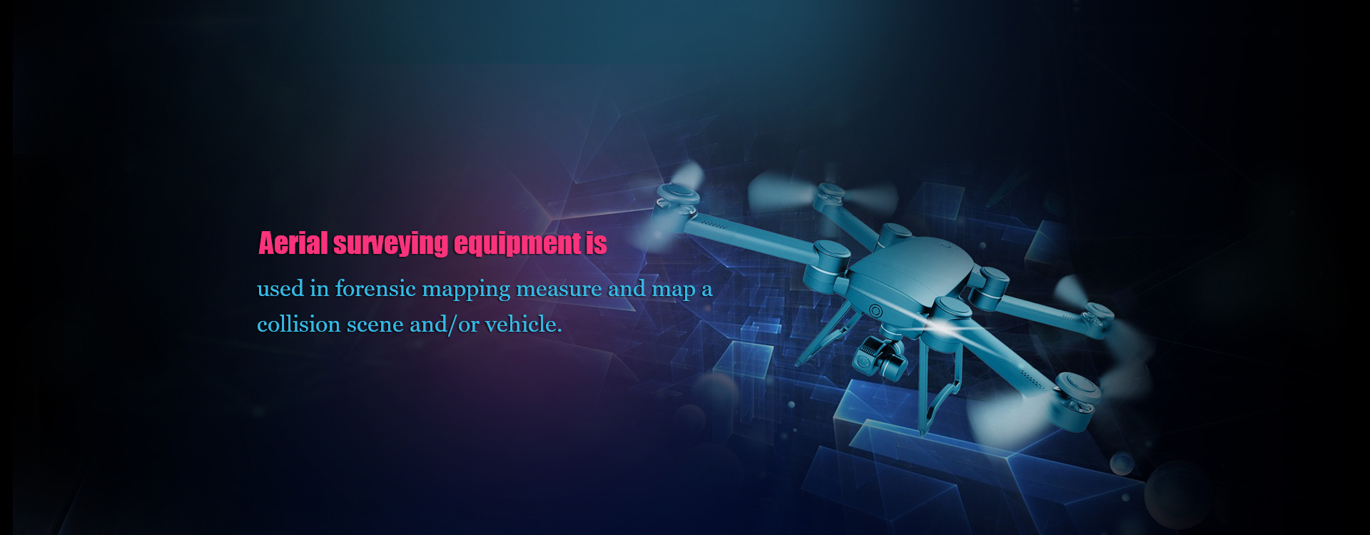
4. Up to 12 million pixels of static photography can support JPEG and DNG RAW formats, with full details. The camera uses 1/2.3 inch sensor with F/2.8 lens, and the image is taken clearly.
5. The system provides four layers, which can separate road, symbol, trace and UAV scene layers to avoid misoperation.
6. Characters such as vehicles and ground objects can be added to the corresponding accident scene position on the photo. The system has automatic adsorption function, which can adsorb the wheel of the characters to the position close to the fixed point.
7. Support multi-photos and drag-and-drop data association, support multi-scene automatically converted to "road traffic accident scene scale map".
8. Quick, convenient, time-saving and labor-saving. Major accidents can be completed in 10 minutes, traffic can be quickly restored, and road congestion can be avoided.
9. Independent flight operation interface, simple to use, easy to use, suitable for various traffic accident scene, dangerous scene investigation and assistance in the pursuit of escape.
10. One-click take-off, one-click landing and one-click return flight. The system can display the pictures taken by UAV camera in real time, and support map navigation for UAV return flight.
11. Automatically setting "return point" to display UAV status and flight information in real time (e.g. signal strength, power, flight speed, etc.)
12. When the UAV has vibration, tilt and rotation in flight, the platform can compensate in real time. By using the stabilization function of three-axis gyroscope, the camera jitter can be prevented to the maximum extent, the camera picture can be kept clear and stable, and the stable picture can be taken calmly in motion.
13. The remote controller adopts advanced wireless transmission technology to achieve stable signal transmission, and the control distance is up to 2 km.
14. Cross-platform windows, windows mobile, android, iOS.
15. Bluetooth laser rangefinder can automatically connect with software and receive measurement data.
16. In line with the latest version of the national standard, Bluetooth printing is used to support the printing of traffic accident scene record and scene scale map.
Main configuration:
Aerial reality Actual scene automatic labeling Two-Dimensional drawing of scene turn
Technical parameters:
Specification parameters of serial number equipment name
1. Intelligent UAV
Weight (Battery) of Takeshi 1 Flight Vehicle: 2935 G
Maximum take-off weight: 3400g
Hovering Accuracy (Safe Flight State): Vertical: 0.5 m, Horizontal 2.5 m
Maximum angular velocity of rotation: pitch axis: 300 degrees per second, course axis: 150 degrees per second
Maximum pitch angle: 35 degrees
Maximum ascent speed: 5 m/s
Maximum Horizontal Flight Velocity: 22 m/s (in ATTI mode, windless environment near sea level)
Maximum flying altitude: 4500 meters
Maximum withstandable wind speed: 10 m/s
Flight time: 18 minutes
Power motor model: DJI3510
Propeller model: DJI1345
Indoor positioning hover: standard matching
Working ambient temperature: - 10 ~40
Wheelbase: 559 to 581 mm
Maximum profile size: 438*451*301mm
Angular jitter of the platform: +0.03 degrees
Installation mode of platform: detachable
Controllable range of rotation: pitch: -90 degrees to + 30 degrees, level: +320 degrees
Structural design range: pitch: - 125 to + 45, level: + 330.
Maximum control speed: pitch: 120 [seconds], level: 180 [seconds].
Battery capacity: 4500 mAh
Voltage: 22.2V
Battery type: LiPo6S
Energy: 99.9Wh
Battery overall weight: 570g
Working ambient temperature: - 10 ~40
Charging ambient temperature: 0 to 40
Maximum charging power: 180W
Storage ambient temperature: Storage time is less than 3 months: - 20 to 45 degrees Celsius
Storage time is longer than 3 months: 22 to 28 C
Camera Camera: X3
Total pixels: 12.76 million
Effective pixels: 12.4 million
Maximum resolution: 4000*3000
ISO Range: 100-3200 (Video), 100-1600 (Photos)
Electronic shutter speed: 8 seconds - 1/8000 seconds
Video FOV: 94 degrees
Sensor: SONY EXMOR 1/2.3"
Lens: 20mm (35mm format equivalent) f/2.8; Infinite focus; 9 groups (including 2 brand aspheric lenses); Blue glass filter
Photo shooting mode: single shot; multiple shot (BURST: 3/5/7, AEB); 3/5 @0.7EV step; regular shooting
Video resolution: UHD: 4096*2160p24/25, 3840*2160p24/25/30;
FHD: 1920*1080p24/25/30/48/50/60; HD: 1280*720p24/25/30/48/50/60
Maximum Video Storage Bit Stream: 60Mbps
Supporting file storage format: file system FAT32/exFAT; picture format: JPEG, DNG; video format: MP4/MOV (MPEG-4 AVC/H.264)
Support memory card type: Micro SD card; maximum support capacity of 64GB; transmission speed of Class 10 or above or up to UHS-1 rating of MiroSD card
Working ambient temperature: 0 40 C
1. Tablet PC iPad (optional Android system or Windows system device) storage capacity: 32GB;
Dual-core; Main frequency: 1.3Ghz;
Display card chip: Imagination Power VR G6430;
Display screen ruler: 9.7 inches;
Screen resolution: 2048 x 1536;
Screen type: Capacitance screen multi-touch (support up to 10 touch);
Screen Material: IPSmc;
WiFi: Support 802.11a/b/g/n wireless protocol;
Bluetooth: 4.0;
Appearance material: aluminium alloy;
Interface: 3.5mm headphone interface Lightning interface;
Battery capacity: 32.4 watt-hours (Whr) one charge duration (> 10 hours).
2. Bluetooth Laser Range Finder
The error of Lycra D510 distance measurement is usually (+1.0mm/~1/16).
Maximum measurement error: +2.0mm/0.08in
Normal range: 200m/660ft
Range under unsatisfactory conditions: 80m/260ft
Display Minimum Unit: 0.1mm/1/32in
Laser point diameter: 6/30/60mm (10/50/100m)
Power Range Technology
Inclination measurement error of laser beam: +0.2 degree
Measuring error of shell: +0.2
Range: 360 degrees
Conventional Laser Level: 2
Laser type: 635 nm, < 1 mW
Protection Level: IP65 (Dust and Jet-proof Water)
Auto-turn off laser: 90 seconds later
Automatic shutdown instrument: 180 seconds later
Bluethooth v4.0
Battery life (2*AA): up to 5000 measurements
Size: 143 * 58 * 29mm;
Data Interface: Bluetooth Intelligence;
Measurements per battery pack: 5000 times;
Battery weight: 198g;
The wireless Bluetooth transmission function can realize the automatic connection between Bluetooth laser rangefinder and software, and can automatically receive measurement data without manual input.
3. Maximum print format of HP 200 portable color printer: A4;
Ink cartridge: four-color ink cartridge;
Printing speed: black and white: 22ppm, color: 18ppm;
The highest resolution: 4800x1200dpi;
Paper feeding capacity: 50 pages;
Print memory: 64MB;
Interface type: USB2.0 PictBridge port Bluetooth port;
Printing load: 500 pages;
Power supply: 40W
4. Special waterproof toolbox
Material: PVC belt with professional protective lining;
Size: 410x310x200mm;
Dust-proof and waterproof grade: IP66
5. Measuring scale size: 500*500 mm, special for conversion of photogrammetric scale
6. Hard plastic material for ranging assistant board, with diffuse and bright diffuse reflection, reflective material skin
7. Special plastic anti-falling shell size: 9.7 inches;
Material: Thickened ABS-MC;
360 degrees rotatable;
Anti-skid grinding yarn pattern, custom-made anti-fall stretch strap.
8. Traffic accident scene photogrammetric mapping software system (1) The system meets the requirements of the new national standard GA49-2014, has the function of scene mapping, and can be converted from scene to scale, and the data can be automatically generated by ranging scale. In large-scale accident scene, multiple photographs can also be taken, and the position of reference point and reference line can be marked in the real scene photographs, which can be transformed into the scene map at the same time through related photographs.
(2) The system has the product copyright registration certificate and the product inspection report issued by the Scientific Research Institute of the Ministry of Public Security in 2016.
(3) The system has three independent drawing layers, which can distinguish roads, icons and traces. Layered operation among layers can be preserved in layers. There is no interference with each other in drawing, and misoperation can be effectively avoided.
(4) The system can quickly and accurately draw the scale map of the traffic accident scene map, draw the scene map by computer, automatically and quickly draw the sketch of the road traffic accident scene, generate the scale map according to the requirements, and print the accident scene investigation record automatically.
(5) It is more flexible to draw roads, which can easily draw various forms of roads (such as straight roads, forks, detours, complex intersections, road profiles, unequal wide roads, irregular roads, etc.) with handwritten pens. It can also lead roads from the "road template" and save local typical and special roads into the preset roads.
(6) The specification of the icons and the callable icons in the drawing function software are added in accordance with the national standards. It can also draw the required symbols according to the site conditions. When you need to use it, select it in the custom icon class of the icon library.
(7) The multi-finger operation function uses single-finger icons to move the finger to the appropriate position with the finger. Click the icon and then click the copy button to copy the original icon. When two fingers hit the icon, a light green indicator will be displayed to indicate that it is in the state of rotation transformation. The icon will be adjusted to the appropriate position with the rotation of the finger. The zoom function can be realized by zooming in and out of the blank space of the scene with two fingers.
(8) Both triangular and right-angled positioning methods can be used separately or in combination, and automatic and manual methods can be used.
(9) The system can print on-site inquiry and interrogation transcripts at the same time, save questions and answers and edit text in real time. All report files can be exported to MC-WORD format to facilitate editing and processing on other office equipment.
(10) When the reset operation function accidentally exits due to operational errors or system problems, the next entry will directly restore to the last unsaved operation before the system exits, so as to avoid the loss of data caused by erroneous operation and system errors.
(11) Use the built-in electronic compass to automatically determine the direction and mark the North needle.
(12) It can realize the automatic connection between Bluetooth laser rangefinder and software, and can automatically receive measurement data without manual input.
(13) System software can run across platforms, and can run on four platforms: windows, windows obile, Android and ios.
